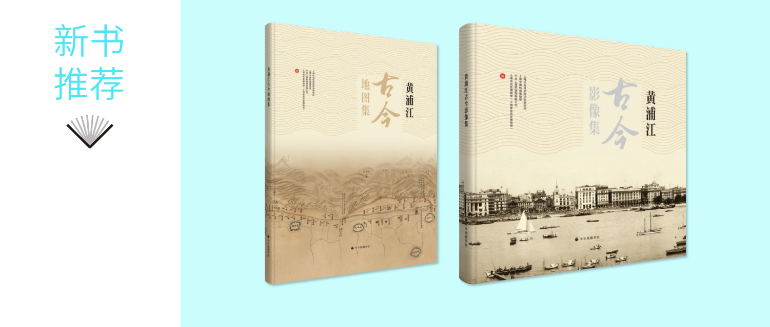

In August, China Maritime Museum published The Historical Atlas of the Huangpu River and The Image Collection of the Huangpu River. These volumes were a collaborative effort by China Maritime Museum, the Institute of History of the Shanghai Academy of Social Sciences, CCCC Shanghai Dredging Co., LTD, and Shanghai History Museum (Revolutionary History Museum).
As the first atlases themed on the ports and waterways of the Huangpu River in China, these volumes highlight Shanghai's distinct characteristics as a port city where rivers and seas merge and trade reaches across the world. They provide rich visual resources for studying the history of the Huangpu River, the history of the Shanghai port, and China's maritime history.
The Historical Atlas of the Huangpu River compiles over 150 maps dating from 1504 to 2020, featuring the Huangpu River as a central theme. It includes local maps, British nautical charts, maps of Shanghai Port, waterway maps of the Huangpu River, specialized maps of dredging projects, and remote sensing maps of the Shanghai area, offering a comprehensive view of the evolution of the port and waterways over time.
The Image Collection of the Huangpu River includes around 400 selected images from various historical periods and regions, organized in spatial sequence from Dianshan Lake to Wusongkou. These images capture key historical moments and depict the transformative changes in the urban landscape along the Huangpu River, as well as the diverse historical scenery of Shanghai Port.

 Fax:
Fax: 